


Interferometric synthetic aperture radar InSAR

|
|
This Envisat Advanced interferometric synthetic aperture radar (InSAR) interferogram over the Kenyan section of the Great Rift Valley shows small surface displacements that are not visible to the naked eye of the Longonot volcano (front right). In the background is Suswa volcano, which was not deforming at this time. Using InSAR, a group of scientists discovered that from 1997 to 2000 the volcanoes at Suswa and Menengai (not visible) subsided 2cm to 5cm, and between 2004 and 2006 the Longonot volcano experienced uplift of around 9cm (pictured). Interferogram images appear as rainbow-coloured interference patterns. A complete set of coloured bands, called 'fringes', represents ground movement relative to the spacecraft of half a wavelength, which is 2.8cm in the case of Envisat's InSAR. |
Contents |
[edit] Introduction
Interferometric synthetic aperture radar (abbreviated as InSAR or IfSAR) is a technique that uses satellite or aircraft radar signals from multiple sources to capture complex and precise measurements.
[edit] Where it can be used
InSAR is a highly effective way to measure changes in land surface altitude. The technique uses two or more synthetic aperture radar (SAR) images and ‘interferes’ them to interpret differences and produce interferograms. This is an accurate way of detecting ground movements and can be scaled from single pixels (typically 3m x 3m or 4m x 14m) to entire countries.
Radar waves can be transmitted through most weather conditions and do not require daylight.
[edit] Geophysical disaster detection
The deployment of InSAR was first investigated in the 1980s, with additional exploration in the 1990s. One of the earliest practical applications of InSAR came in 1992, when it was used to measure the after effects of an earthquake in California.
Since those early applications, InSAR has been used to record data associated with landslides, volcanoes and other natural occurrences. In these instances, geotechnical engineers use InSAR as a safe, remote sensing technique for assessing and monitoring movement.
[edit] Subsidence
InSAR has proven effective at recording millimetre-scale shifts of land (such as subsidence). Subsidence can be tracked using historic satellite radar data covering previous decades and then monitored throughout the duration of a project and beyond.
InSAR has also been useful in recording the consequences of subsurface mining and natural resource extraction (both current and historic).
[edit] Structural instability
InSAR can also be used to record the stability of infrastructure (including highways, rail, dams and so on) and to monitor buildings. Movements can occur for a multitude of reasons - inadequate design or poor construction of foundations - but it can be difficult to capture the historic data.
NB Earth observation and aerial surveys, RICS professional standard, 6th edition, September 2021, published on 4 January 2022 by the Royal Institution of Chartered Surveyors (RICS), defines interferometric synthetic aperture radar (InSAR) as: ‘The measurement of the differences in the phases of the waves between two SAR images acquired over the same area at different times.’
[edit] Related articles on Designing Buildings
- Construction drones.
- Digital mapping and cartography.
- Earthquake Design Practice for Buildings.
- Engineers and hurricanes.
- Future proofing construction.
- Geophysical survey.
- Global positioning systems and global navigation satellite systems.
- LiDAR.
- Radar.
- Site surveys.
- Subsidence of buildings.
- Synthetic aperture radar.
- Using satellite imagery to monitor movements in megaprojects.
Featured articles and news
Homes England creates largest housing-led site in the North

Successful, 34 hectare land acquisition with the residential allocation now completed.
Scottish apprenticeship training proposals

General support although better accountability and transparency is sought.
The history of building regulations

A story of belated action in response to crisis.
Moisture, fire safety and emerging trends in living walls

How wet is your wall?

Current policy explained and newly published consultation by the UK and Welsh Governments.

British architecture 1919–39. Book review.

Conservation of listed prefabs in Moseley.

Energy industry calls for urgent reform.
Heritage staff wellbeing at work survey.

A five minute introduction.
50th Golden anniversary ECA Edmundson apprentice award
![]()
Showcasing the very best electrotechnical and engineering services for half a century.
Welsh government consults on HRBs and reg changes
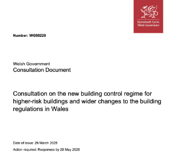
Seeking feedback on a new regulatory regime and a broad range of issues.
CIOB Client Guide (2nd edition) March 2025

Free download covering statutory dutyholder roles under the Building Safety Act and much more.

Minister quizzed, as responsibility transfers to MHCLG and BSR publishes new building control guidance.
UK environmental regulations reform 2025
Amid wider new approaches to ensure regulators and regulation support growth.
BSRIA Statutory Compliance Inspection Checklist
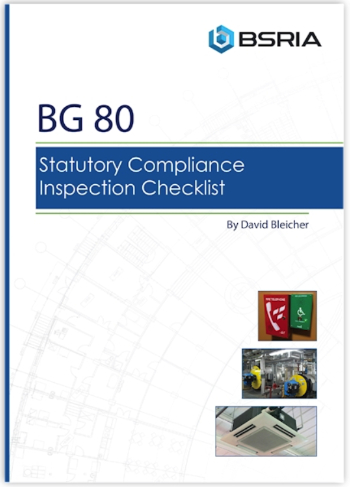
BG80/2025 now significantly updated to include requirements related to important changes in legislation.